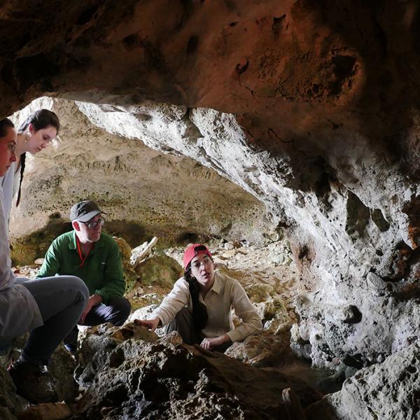
Research Associate of Archaeology at Washington University, Mary Jane Acuña, co-authored research published in Science.
Abstract
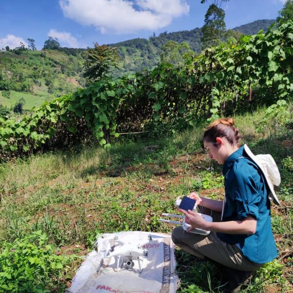
Lowland Maya civilization flourished in the tropical region of the Yucatan peninsula and environs for more than 2500 years (~1000 BCE to 1500 CE). Known for its sophistication in writing, art, architecture, astronomy, and mathematics, Maya civilization still poses questions about the nature of its cities and surrounding populations because of its location in an inaccessible forest. In 2016, an aerial lidar survey across 2144 square kilometers of northern Guatemala mapped natural terrain and archaeological features over several distinct areas. We present results from these data, revealing interconnected urban settlement and landscapes with extensive infrastructural development. Studied through a joint international effort of interdisciplinary teams sharing protocols, this lidar survey compels a reevaluation of Maya demography, agriculture, and political economy and suggests future avenues of field research.
For more information, please click here.